Connect facilities and public-space records with location and visual context.

 Assess my projectAssess my project↗︎
INDUSTRY 08 / GOVERNMENT, SMART CITIES & PUBLIC INFRASTRUCTURE
TURN PUBLIC PLACES INTO USEFUL SPATIAL INFORMATION.
Create spatial records of public places, facilities and infrastructure for municipal planning, documentation, communication and public consultation.
BUSINESS OUTCOMES / PLAN · OPERATE
Give planning and communication teams shared spatial context.
Public-sector projects may require both technical records and accessible public information. Agree the audience, coverage, required accuracy and publication scope for each use.
Create scoped spatial datasets for planning reference, subject to access and capture permissions.
Record accessible conditions; specify survey control and validation when formal measurement requirements apply.
Use navigable views and planning visualisations to explain places and proposed changes.
POTENTIAL OUTPUTS
Digital assets shaped around the task.
Select capture methods and deliverables around the required use, site conditions and agreed scope.
- Spatial datasets and point clouds
- Public-facility digital twins
- Aerial mapping and visual context
- Interactive maps and planning experiences
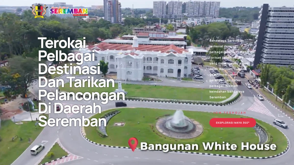
Majlis Bandaraya Seremban — a destination experience
EXPLORE THE PROJECT ↗︎Explore relevant projects.
Choose a project to see the experience and its intended use.
Tell us what your space needs to achieve.
Novo will review the location, scale, intended use and required outputs, then recommend an appropriate capture and delivery approach.
DISCUSS YOUR SITE ↗︎